Water resource management
Efficient – Comprehensive – Secure
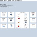
GW-Base 9 enables you to store, manage and evaluate all data and information acquired in the framework of a water or environmental monitoring project. Water quality and quantity data, project management and well inventory data as well as climate and geological data, all can be managed and processed in one single system.
Extensive project planning and data management, data evaluation and data analysis, mapping, reporting and document management features make GW-Base 9 a comprehensive and professional tool for hydrogeologists and water experts.
Regardless of project size and project scope, GW-Base serves as a professional and fast applicable system in all fields of application suited for everyday usage.
Main Features of GW-Base
Data Management
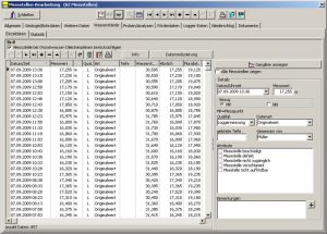
Data processing and handling in GW-Base 9 is ideally adapted to your project management work flow. New sorting, grouping and filtering features provide a clearly arranged and well structured data overview, even for huge numbers of records.
The following data can be managed using GW-Base:
- basic station data
- water level and water quality
- discharge and runoff data
- hydraulic parameters
- geological data and bore log
- well construction and station completion data
- data on technical equipment
- sampling and analysis data
- threshold values and alerts
- logger and telemetry data
- climate data
- document management
- monitoring plans and schedules
- station related tasks
- measuring routes and personnel
- maps and topographical data
- reports and evaluations
Graphical Evaluations
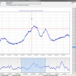
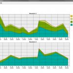
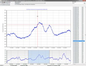
GW-Base offers a wide array of tools for graphical evaluation and display of all data managed in the project database. All these tools feature vast options for customizing layout, printing and reporting of generated graphics and charts.
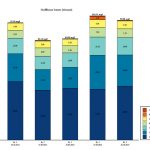
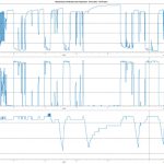
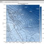
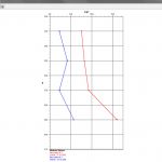
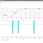
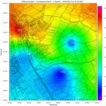
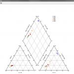
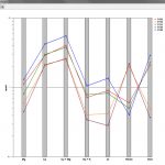
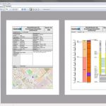
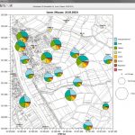
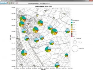
These evaluations can be exported as image files (e.g. PNG or JPG) or directly printed to a PDF file, optionally with additional title block (appendix number, editor, title, subtitle, etc.). Next to time series plots and contour maps, bar charts, stack charts, pie charts as well as hydrogeological profiles, hydrochemical diagrams and depth profiles can be created. Contour maps and pie charts can additionally be exported in shape-file format, for direct use in e.g. GW-Arc/ArcGIS.
Print Template Designer
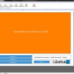
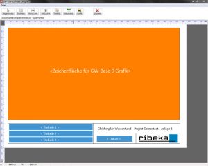
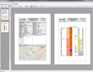
The new GW-Base print template designer enables you to create customized layout templates for your charts and maps quickly and easily.
Title blocks with titles, logos, free text, additional images and frames can be designed according to the requirements of your printouts.
Map Management
The GW-Base map management can provide individual maps for all project-specific fields of application.
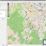
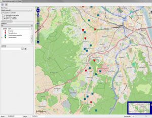
All common map file formats are supported (e.g. raster formats like * .jpg, * .tif, * .bmp with world file, GeoTiff, but also vector formats like * .shp, * .dwg or * .dxf). Individual raster maps without a world file can be georeferenced in GW-Base. Alternatively, online maps from the OpenStreetMap web service can be used for map display and evaluations.
Coordinate Systeme
In GW-Base 9, two coordinate reference systems can be used simultaneously, a user defined coordinate system and the UTM coordinate system.
GW-Base is able to automatically convert the user defined coordinates to UTM coordinates with the help of a corresponding coordinate transformation file. All coordinate-related data in the database can be converted automatically: measuring point coordinates, map coordinates and topographic point coordinates.
Sampling Management
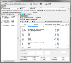
GW-Base 9 features a flexible and extensive sampling and analysis management. All required analysis parameters and parameter classes, units and thresholds are freely editable.
In addition to basic sampling data all on-site parameters, organoleptic parameters, analyzed parameters and associated analysis programs can be managed and evaluated. Sum parameters and ionic balances can be computed automatically.
The GW-Base sampling calendar is an easy to use tool for planning and management of samplings, analytics, parameter scopes and due dates. Associated monitoring stations, parameters scopes and the day of sampling can be added to the calendar, the appropriate protocols can be directly printed afterwards. Corresponding parameters fields are automatically added to the database. Planned and completed sampling can be distinguished by unique color codes.
Statistics
With GW-Base 9, hydrological statistics, such as arithmetic mean, absolute maximum or mean value of the minima, can be conveniently determined for every station. Next to annual water year statistics, a long term statistic and statistics for a user defined time range are available.
For accurate hydraulic calculations the start of the water year can be defined individually. It is also possible to determine statistical values concerning discharge rates like monthly sums or daily maximum. All statistical calculations can be exported in Excel format.
Report Generator
GW-Base 9 is equipped with a professional report generator. In addition to numerous included report templates you can create new layouts and templates all by yourself.
Hence, scheduled reports, lists and tables can be created swiftly. The report generator allows you to precisely select the desired data and output it as completed and printable report in no time. Your recurring reporting requirements will be done in minutes.
Thresholds and Queries
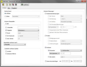
Extensive search options allow a quick query on the entire database and a precise search for specific measurement results.
Easy to use Query Wizards will allow you to quickly search for samples, analysis results or water levels, without the necessity of tedious scanning of all time series plots or tabular analysis results in the plenitude of measuring points and available datasets.
Query threshold exceedances, due measurements or analysis results and integrate them directly into your reports or export them in Excel format. This rich set of features is complemented by a SQL Editor for user defined SQL queries.
Data security
The new GW-Base 9 enables you to easily and quickly create backups of your data. If you use Access databases, a copy of your database will be stored as ZIP-file in a predefined directory. The backup can be started manually or automatically while opening or closing the project.
If you use Oracle or MSSQL databases for your GW-Base projects, you can use the security features of your particular database server.
Import and Interface for Automatic Imports
All import tools are equipped with import wizards that guide you through the import process. This enables even users who are not familiar with the program to import data into GW-Base without difficulties.
With the integrated logger data import tool you are able to import all data collected by automatic data loggers. Independently of logger manufacturer or type, data from all loggers, starting from simple water level loggers to complex multi-parameter loggers and climate stations can be imported.
A graphically controlled data reduction feature facilitates the target-oriented acquisition of only those datasets that are really required (e.g. daily average, min-max or event-driven). Each import process is logged (date, editor and content, the name and path of the import file) and can be undone if necessary.
Interface for Automatic Imports
The auto-import interface is able to directly connect to your control room, your lab or telemetry equipped monitoring station (wells, climate stations, etc.). This way all data from data loggers can be automatically imported, regardless of logger type or manufacturer
Export
All export tools in GW-Base 9 are equipped with clearly structured wizards which guide safely through the necessary steps (specification of data types, monitoring points, time range, etc.).
For the export process, a variety of options are available. E.g. in case of an analysis data export, parameters measured at a specific monitoring station in a specific time range can be determined exactly. For a periodical export of water level data, a special tool is available which automatically sets the name of the generated export file according to user-defined criteria. Water levels can be exported in * .xls, * .csv, * .zrxp and ASCII format.
In addition to the export in Excel format, a special GW-Base export format is available. It can be used to exchange selected data between two separate GW-Base databases without having to worry about file formats.
All data can also be exported to the web module GW-Web. This web tool enables colleagues, clients or involved technical authorities with appropriate access permissions to view data via a common web browser.
GW-Base Interfaces
The import and export of data from one system to another can be complex and time consuming. To facilitate this work, we offer a variety of interfaces to GW-Base.
Next to standard interfaces like WISKI ZRXP, Excel or ASCII (e.g. * .txt, *.csv) we have developed a variety of special customer specific interfaces which are constantly complemented.
User Management
The flexible and precisely configurable user management protects all managed data and ensures that for each employee only these datasets are available that are needed for their daily work.
Languages
GW-Base 9 is available in German, English, Spanish and Chinese.


