Comprehensive Groundwater Monitoring and Bore Log Management for the K+S AG

Commissioned by
K+S AG
Project description
2010 – ongoing
Location
Kassel, Germany
Project description
The K+S AG (formerly Kali und Salz GmbH ) is a German mining company based in Kassel. K+S has a focus on potash and salt mining and is a leading global supplier of potash and magnesium products for agricultural and industrial applications. K + S ismainly active in Europe as well as in North and South America and employs over 14,000 people worldwide (K+S Aktiengesellschaft 2013).
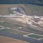
Amongst others, the most important mining area for K+S in Germany is the potassium salt mine “Werra” with its related sites in Herring, Philippsthal and Unterbreizbach, all close to the border of Hesse and Thuringia. The potash salt mine “Werra” is, with an exploitation area of approximately 2500 km², the world’s largest potassium mining
area. The objective upper and lower potassium deposits are located in a depth of up to more than 800 m are part of the Zechstein Unit (Lopingium) of the Permian period, are surrounded by the Werra Rock Salt (Werra Steinsalz) formation.
The highly saline brine waters which originate in the framework of the potassium quarry are partly injected
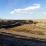
into the dolomite layer (Plattendolomit/ Zechstein 3) covering the Werra Rock Salt formation, partly discharged directly into the Werra River. Additionally, the large amounts of salt, mostly Sodium Chloride (NaCl), accompanying the potassium salt are deposited on vast mine dumps which are exposed to precipitation and subjected to wind drift (Regierungspräsidium Kassel, 2007). The disposal of brine waters and also the large salt
dumps are a potential risk to the local environment as well as surrounding groundwater and surface water
resources. Hence K+S is required to precisely monitor all surrounding water resources and proof that there is no negative impact for current and long term sustainable impact. Corresponding reports have to be issued to the responsible environmental authority on a regular basis.

Our solutions
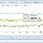
Ribeka was commissioned to implement an integrated groundwater monitoring and management system together with a bore log and drilling data management for the thousands of high complex drillings and monitoring stations in and around the mines of the K+S AG. In addition customized hydrological and hydrochemical tools for water samples evaluation, reporting tools as well as modules for precise water level measuring in highly saline brine waters were developed.
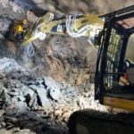
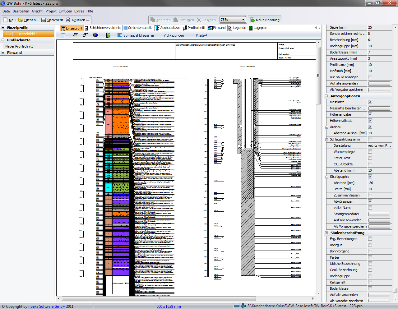 Due to the high complexity of K+S exploratory drillings in these formations which are down to a depth of more than 1600 m K+S demanded a very sophisticated bore-log data management and visualization tool. Currently all drilling data and related data can be stored in the GW-Base database. Next to basic drilling information like drilling purpose, authorizations, client, companies, etc., detailed information concerning drilling sections, drilling fluid, casing elements, filter screens and backfills can be stored. In addition, all relevant hydraulic parameters like conductivity, transmissivity and storativity as well as geophysical borehole exploration logs can be managed. The bore log comprises detailed information about stratigraphy, petrography, condition, properties, jointing and cleavage. With the help of its Module GW-Bore, GW-Base is able to automatically plot and visualize this information in bore log and well construction diagrams.
The complete system is installed in a multitier server environment at the German K+S headquarters in Kassel. From there all branch offices at the different mining sites have access to GW-Base and its comprehensive databases, to all customized modules and to the bore log visualization tool GW-Bore. The complete range of data acquired by K+S consisting of geological data, bore log and well construction data, geophysical logs, water level, water quality and water quantity data, field measurements and laboratory analysis as well as hydrogeological parameters are managed, evaluated and reported with this system.
Download
Further projects
Projekt WaterMiner – Vietnam
Water supplier RWW-RWE
Norwegian Institute of Bioeconomy Research (NIBIO)